Mar. 31, 2016
Choose your neighborhood wisely…
Google has been known for taking its existing software and injecting fun and quirky diversions. Now, for a limited time, Google has added the classic arcade game Pac-Man to Google Maps. You can spend some time searching around cities for Pac-Man pins, which Google offers hints for where to find them, or you can navigate to your neighborhood and click the Pac-Man tile in the lower left corner of the screen and convert the street grid to a game board. The benefit of finding the pins is that you are playing a designated game board and can compete against others.
At this point in time we didn’t see any Pac-Man pins in Louisville, but selecting several areas of town and using the Pac-Man tile we were able to convert them into games nonetheless. We noticed something pretty quickly… the neighborhoods you choose have a big impact on how easy and playable the game is.

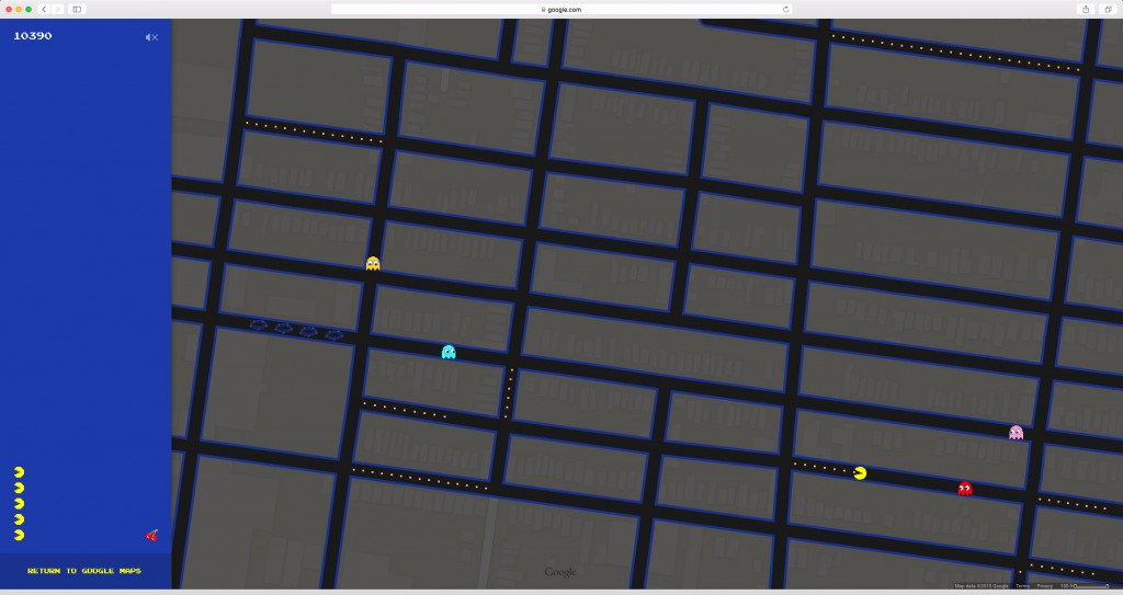
For instance we chose to turn the area of the Russell Neighborhood at West Muhammad Ali and 27th into a game (above). This and many other areas in West Louisville have a tight street grid that offers a lot of options to get away from Blinky and friends. As we moved around the city we found varying degrees of playability.

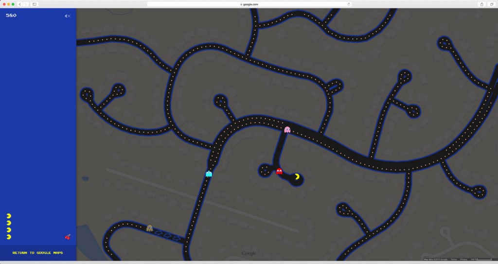
We found one of the most challenging game boards, of the few areas we tested so far, when we selected Lake Forest Parkway near Broad Oak Place just outside the Gene Snyder. It is very likely that any of the multitude of newer suburban developments with cul-de-sacs will produce similar results.

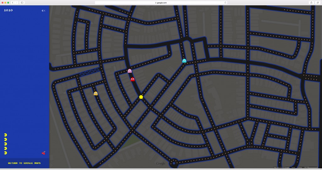
Probably one of the most fun street maps to game areas was in Norton Commons where the tight street network and circular pattern of roadways makes for an interesting visual graphic and a lot of dots to collect.
Though not scientific or extensive, the game does do a good job of illustrating the well worn notion that street grids are much better at providing route options for traffic dispersion and general connectivity than the suburban curvilinear and cul-de-sac model. It is also harder to get a high score with less roadways in the game frame.
Warning: If you geek out on maps and vintage video games like we do, you may want to wait until after hours to try this out because you could easily waste several hours. However, who knows how long google will keep this function active.


 View photostream on flickr